
Adelanto ZIP Code Coverage, Kept Precise
The research conclusively verifies ZIP Code 92301 as the Adelanto mailing locality and identifies the Adelanto Post Office at 11530 Rancho Road, Adelanto, California 92301-2729. The listed telephone number is 760-246-4300. The office offers PO boxes and general delivery. Listed hours are Monday through Friday 9 to 5 and Saturday 10 to 1. USPS remains the source for checking a particular address because ZIP service and municipal boundaries are not the same map.
| ZIP | Areas Covered | Post Office | Notes |
|---|---|---|---|
| 92301 | Adelanto mailing locality and core service area | Adelanto Post Office | Verify each edge address; PO boxes and general delivery exist |
No official current polygon in the research proves that 92342 or 92368 is an Adelanto city ZIP. A 2015 Postal Bulletin label table references those numbers in a deletion context, but that does not establish current city service. The narrow table is more useful than adding nearby ZIPs without an authoritative boundary overlay.
The USPS ZIP Code Lookup is the postal source shown below.
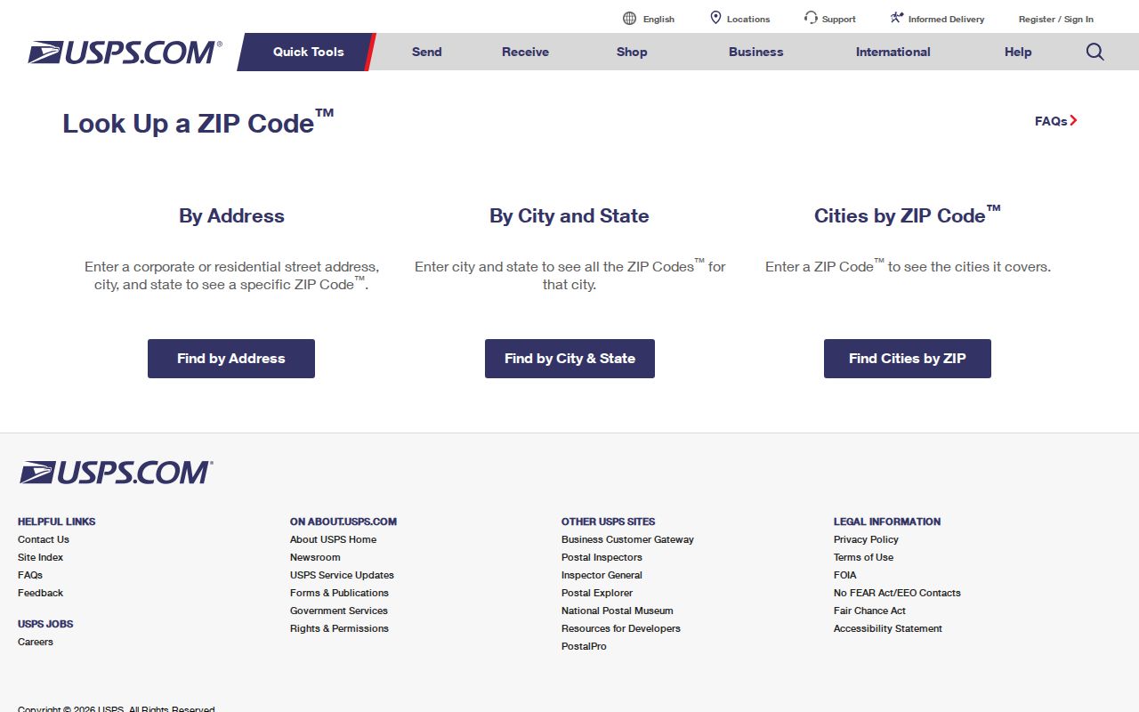
The USPS image is the right first stop for a ZIP code directory search because it checks the mailing address rather than relying on a city name typed from memory.
Verify an Adelanto ZIP Code at the Address Level
USPS provides two useful modes for ZIP verification: an address mode and a city-and-state mode. The address mode is the stronger choice when a parcel, mailbox, or edge location matters. A city-and-state search is a broad orientation tool. Neither mode supplies a list of Adelanto residents.
| Street address | Enter the physical mailing address to return the ZIP tied to that address. |
|---|---|
| City and state | Check the ZIP or ZIPs associated with a named postal locality. |
| Result use | Confirm mail routing, then move to parcel or city tools for jurisdiction. |
- Run the complete address in the USPS ZIP Code Lookup.
- Record the returned ZIP and postal locality exactly as shown.
- Use county parcel or assessor map tools to check the situs and APN.
- Compare the parcel with the current city boundary and any annexation map.
- Use the Adelanto street directory once the address and parcel identity are stable.
A ZIP code directory that skips the parcel step can mix postal Adelanto with county land outside the municipal line. That is especially risky when a resident describes a broad High Desert location rather than a precise city jurisdiction.
The 92342 and 92368 Postal Bulletin Trap
The research found a 2015 USPS Postal Bulletin deleted-from label table involving destination ZIPs 92301, 92342, and 92368 with “ADELANTO CA 92301.” That entry proves that a postal label list changed. It does not prove that all three ZIPs currently serve Adelanto city addresses. Current evidence associates 92342 with Helendale and 92368 with Oro Grande, but the research did not locate an official current ZIP polygon and city-limit intersection.
Do not turn a historical postal notice into a current residents-by-ZIP list. Verify the address with USPS, then check the county map or parcel system. When a record says “Adelanto,” keep the source's own meaning in view: it may be a mailing locality, a city situs, a newspaper label, or an everyday regional description.
Why the Assessor Has No Documented ZIP Filter
San Bernardino County govPIMS documents parcel, situs, owner-name, map-book, tract-map, attached-parcel, and property-ID modes. Its bulk report download offers a City Selection Filter for one municipality or the whole county. The research does not document a ZIP-wide resident filter. That means a ZIP code directory cannot promise one county result that lists every parcel or person in 92301.
A permitted data project could build a parcel set through official GIS or data channels, but online name and address display remains subject to Government Code § 7928.205. The county assessor map can place a parcel and its neighbors. The Recorder then searches parties by name, not by ZIP or street. Each step narrows the geography without turning a postal code into a public household roster.
The assessor map belongs beside, but not inside, a ZIP lookup. Map context identifies land; it does not add missing occupants. Use the county map after USPS returns a ZIP when the remaining question is jurisdiction or parcel identity.
ZIP Code, Mailing City, and Adelanto Limits
ZIP codes are designed for mail routing. Census ZCTAs are statistical approximations, not USPS delivery polygons. A municipal boundary answers a legal-government question. A parcel situs answers where the land is. A mailing address answers where correspondence goes. These four geographies can overlap without being identical.
The county Adelanto city and sphere map records annexation activity in 1991, 1992, 1998, and 2000. Its boundary currency is June 27, 2000 and it disclaims legal representation. Use it to understand historical geography, not as a current legal certification. Early Adelanto land can also carry a tract, lot, or section-township-range identity from before present street labels.
- ZIP code
- A postal routing code assigned by USPS service patterns.
- ZIP+4
- An extended postal code that narrows delivery beyond the five-digit ZIP.
- PO-box ZIP
- A postal route that may receive mail without identifying a physical parcel.
- Unique ZIP
- A code assigned to a particular organization or high-volume address rather than a broad neighborhood.
The California Megan's Law name and map search is the separate location source shown below.
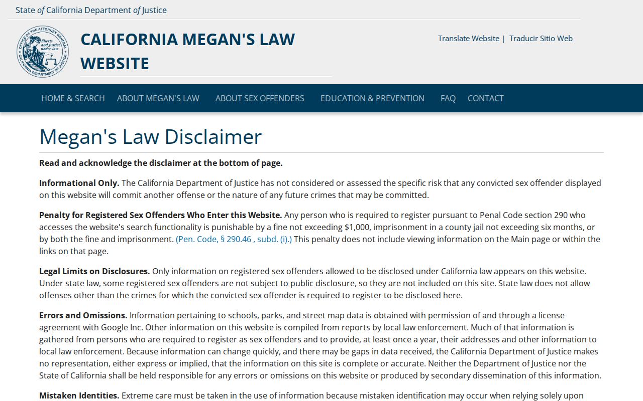
The California Megan's Law map is a separate official name and location search. Its map surface illustrates why a location result still needs its own legal-use rule and should never be mistaken for a ZIP-based resident directory.
Search Official ZIP-Enabled License Records
A ZIP code directory becomes more useful when it points to registers that genuinely accept ZIP or city filters. California's professional-license search can narrow a board or license type by name and location. The Contractor State License Board's Location Search accepts a California city or ZIP with a classification. Alcoholic Beverage Control can report licensees by city, ZIP, county, census tract, or statewide. Those are occupational or business registers, not household rolls, but they can support a name or organization check.
California's Unclaimed Property search is name-based rather than a resident directory. A reported holder or location can be a historical clue, and a free claim requires proof. Keep the distinction clear: a ZIP filter on a license register identifies a filed business or license location, while a parcel and deed identify land, and neither proves who sleeps at an address.
The California Department of Consumer Affairs License Search is the state register shown below.
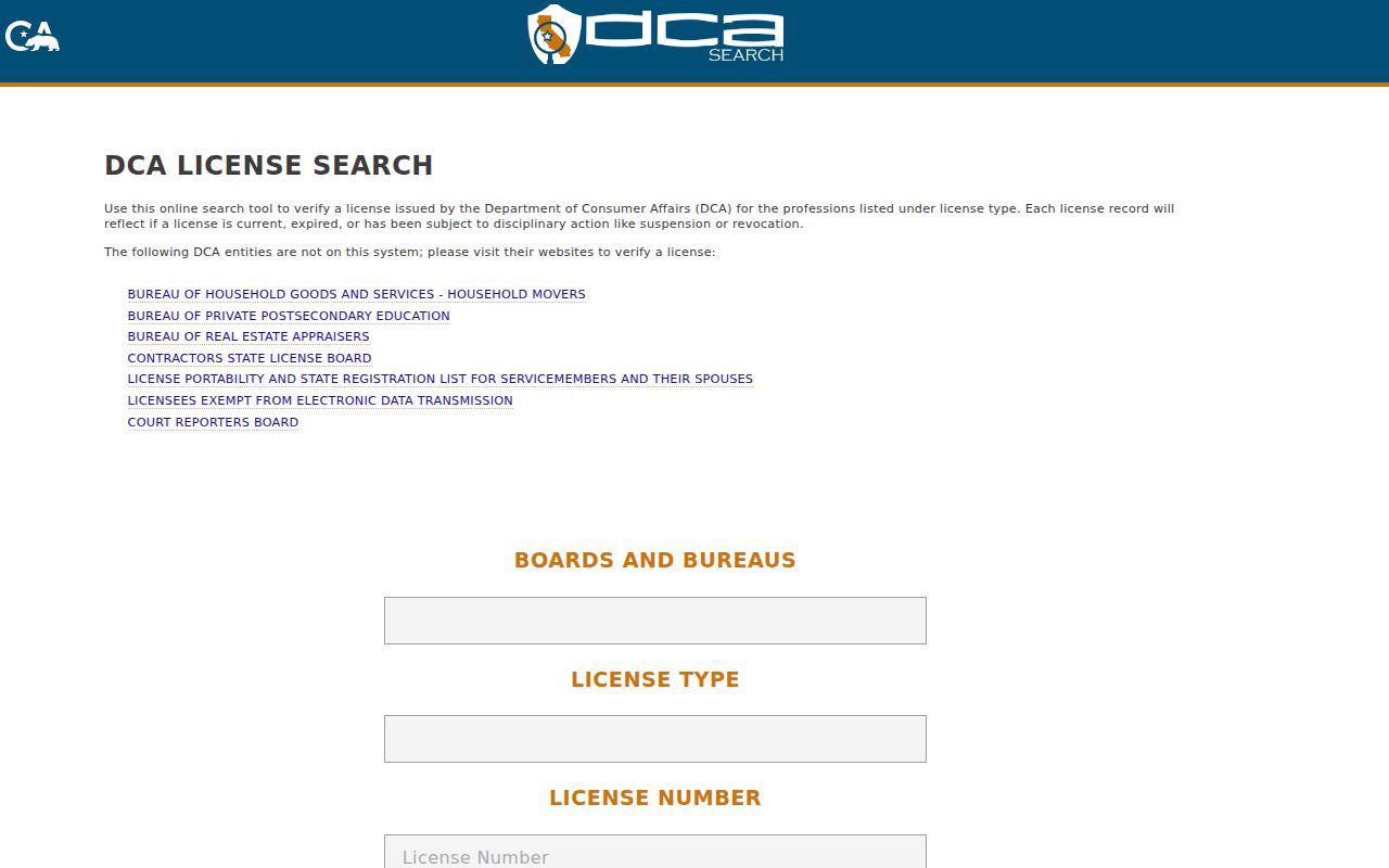
The DCA image is an example of a real state lookup with explicit search fields. Use the board's own profile and source documents when the result matters.
Early Adelanto Addresses Need Land Clues
Adelanto's founding in 1915 and incorporation in 1970 create two historical breaks. Early one-acre subdivision records may identify land by tract and lot, while county records can use township, range, and section language. A present street number may not carry backward cleanly. Connect the older and newer forms with the APN, legal description, map book, lot book, deed, or assessment record rather than assuming the label stayed fixed.
The county's lot books from 1895 to about 1950 can show taxpayers, school district, legal description, and land, improvement, tree, vine, or water values. Those fields can help date the orchard or improvement phase of a parcel, although an improvement value does not identify whether the structure was a house, barn, shed, or other building. A ZIP code arrives much later in the trail and should not be used as the continuity key for old land. Census QuickFacts adds community context, while the CDCR locator answers a separate custody question.
The State Controller Unclaimed Property search is the name-based source shown below.
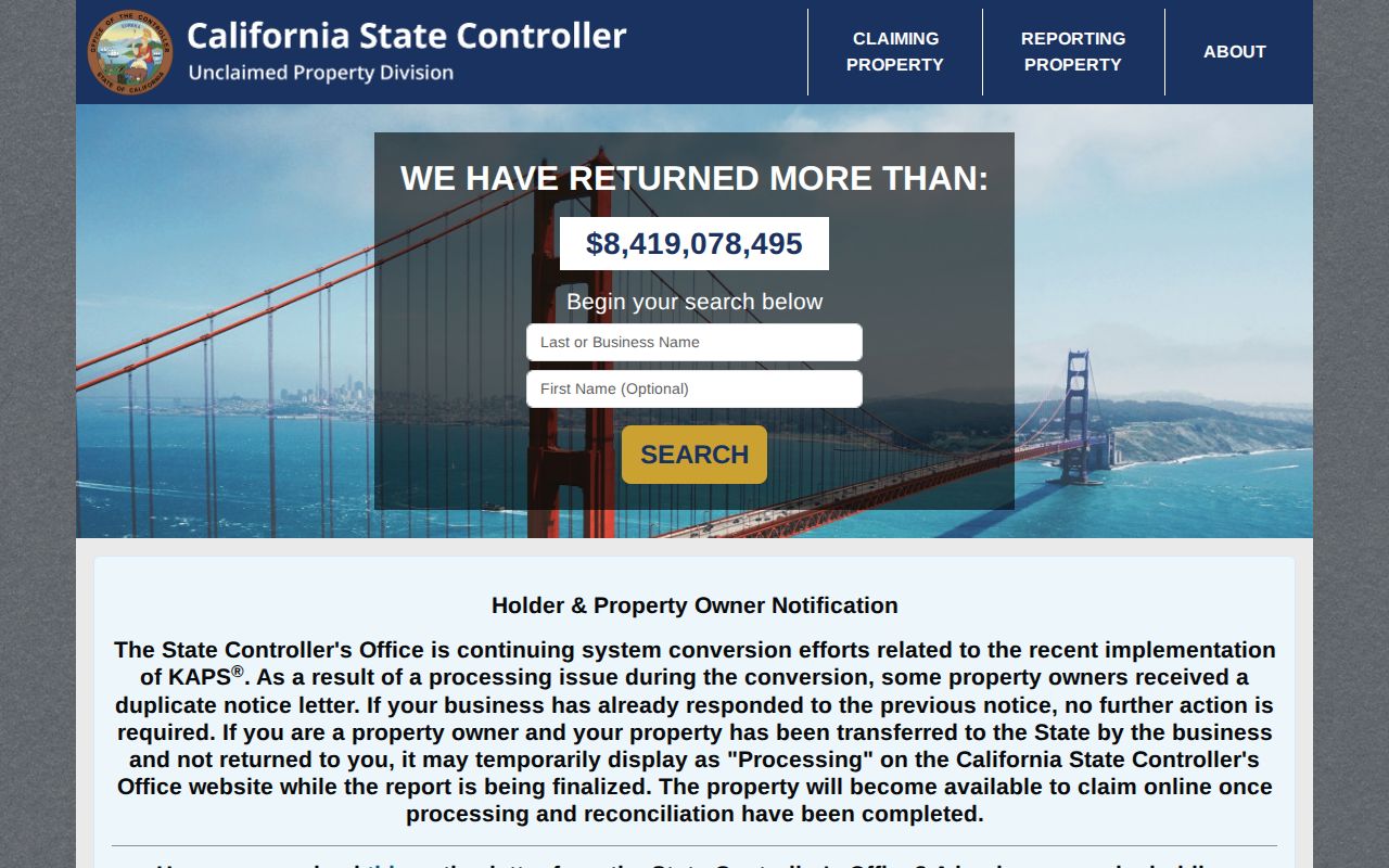
The State Controller's search is a name clue, not a parcel or ZIP source. It belongs in a broader verification chain only when the name and reporting context are relevant.
What an Adelanto ZIP Code Directory Cannot Prove
A ZIP code cannot prove city jurisdiction, owner identity, occupancy, household size, voter status, or a current address for a person. PO boxes and general delivery further separate postal contact from physical situs. An assessor owner may receive mail elsewhere. A city map may show land-use layers without names. A business or license result may show an organization at a site without identifying a household.
The lawful search path is narrow by design: verify the postal code, anchor the parcel, choose the right custodian, and respect the source's use rule. California Safe at Home, voter confidentiality, sealed court records, vital-record eligibility, and Government Code name-display limits all mean that a missing result can be a privacy protection rather than a search failure.
Lawful personal use. ZIP and parcel research can support family history, civic understanding, and property curiosity. Never use a postal or public-record clue to stalk, harass, intimidate, or harm another person.