
Adelanto Neighbor Sources Around One Block
A neighbor search needs a block-sized source map. The county assessor map can show adjacent parcels and APNs. The City of Adelanto's ArcGIS item can show zoning and infrastructure layers. The Recorder can follow a deed party after each parcel is identified. A Registrar voter product can contain residence fields only for an approved use. Community directories may provide voluntary organizational contacts, not household membership.
| Source | What It Shows About a Block | Access |
|---|---|---|
| govPIMS map | Adjacent parcels, APNs, situs, assessed-owner and mailing fields where visible | Public entry, possible login, privacy limits |
| Adelanto ArcGIS map | Parcel boundaries, zoning, overlays, address grid, utilities and boundary context | Free map; owner field unconfirmed |
| Recorder index | Deed parties for owners discovered parcel by parcel | Free index; instruments by order or counter |
| Approved voter file | Residence and precinct fields within an accepted lawful purpose | Application, security, fees, use controls |
| Chamber or civic contacts | Public organizational and business contacts | Voluntary directory; not a household roster |
No official Adelanto HOA, neighborhood-association, or civic-council roster was located. Private membership lists are not presumed public. Ask the City Clerk whether it holds a voluntary public contact record, and expect personal details to be withheld when an exemption applies.
Click Parcels Beside an Adelanto Address
The county map does not document a radius or buffer query. The reliable block method is visual and parcel-based. Search the complete address, confirm the highlighted parcel, then inspect the polygons that touch it. A street directory walks along a named street; a neighbor lookup stays with the immediate surrounding parcels.
- Search the situs address in govPIMS and record the APN and parcel status.
- Choose Zoom to Parcel, turn on property lines and city boundary, and open the Legend.
- Pan and zoom to each adjoining polygon, then open its APN Properties panel.
- Record situs and mailing fields separately, along with any visible assessed-owner role.
- Use the APNs to search deeds separately when a prior-owner question matters.
Ruler and area tools estimate distance and size. They are not surveys. A complete “within 500 feet” list would require a separately authorized GIS dataset or careful manual map work. Do not promise a radius result that the county portal does not document.
The city map can be opened beside the county parcel view. Its listed layers include zoning, overlays, circulation, truck routes, address grid, city boundary, cannabis zones, sewer, water, and SCLA. That context can explain why adjacent parcels look different without supplying a resident name.
Adelanto's updated parcel and zoning map is useful for the block context; its item description does not establish an owner field.
Compare County Parcels with Adelanto Zoning
County and city maps answer different questions. The county map is the stronger parcel and APN starting point. The city ArcGIS item is stronger for zoning, overlays, circulation, truck routes, sewer and water layers, the airport, and the city boundary. Put the two views side by side when a block includes an industrial parcel, a boundary edge, or a mixed land-use pattern.
Adelanto's parcel and zoning item was updated July 22, 2026, including 2025 water lines. A current update tells the reader when the map layer changed; it does not certify ownership or make a map a survey. Use the map to choose the next public record, not to infer a household from the color or shape of a polygon.
Mailing Addresses Are Not Neighbor Occupancy
govPIMS separates the physical situs from the mailing address. An owner may receive tax correspondence somewhere else. A mailing address may be a business, a post office box, or an out-of-city destination. The parcel result does not list every renter, household member, guest, utility customer, or delivery recipient. Those absences are part of the record boundary.
A neighbor lookup should therefore describe “adjacent assessed parcel” or “mailing address shown in the property record,” not “person next door” unless an appropriate source actually establishes that role. The assessor warns it does not determine legal ownership or permitted land use. A city zoning map does not fill the missing occupancy fact.
- Adjacent parcel
- A mapped lot that visually touches the starting parcel.
- Situs
- The physical location of the parcel, distinct from tax-mail destination.
- APN
- The assessor's parcel key used to keep adjacent records separate.
- Occupant
- A person using a property, a role not automatically shown by an owner field.
Research Each Adjacent Deed Separately
The Recorder index has no documented street, ZIP, radius, or legal-description search. Once the map supplies an adjacent parcel and lawful owner clue, search the person in the Official Records index. Match the document's legal description, then read grantor and grantee roles. Repeat for each parcel when the question concerns a block's property history.
This approach is slower than a mass list, but it keeps the land chain correct. A deed party may be a seller, lender, trustee, lienholder, or buyer. The index identifies metadata, while the instrument supplies the legal description and substance. Images may require an order or a visit to the Hall of Records or High Desert Government Center.
When a past household matters, use the Adelanto street directory for the full address chain and the previous residents workflow for one parcel backward through time.
Approved Voter Data Is Not a Block Directory
California does not offer a casual public voter-name directory. My Voter Status is a self-check. San Bernardino County controlled products may include residence, mailing, precinct, party preference, registration date, vote-by-mail status, supplied phone or email, and election participation history, but the requester must state an approved purpose, beneficiary, security plan, and lawful-use agreement. Commercial use, harassment, insecure publication, and unauthorized transfer are prohibited.
A block lookup for ordinary personal curiosity should not attempt to obtain or publish a voter file. Weekly party totals by political jurisdiction provide a privacy-respecting community context. Protected voters, confidential records, and Safe at Home participants remain outside ordinary public use.
The Safe at Home program page is the confidentiality source shown below.
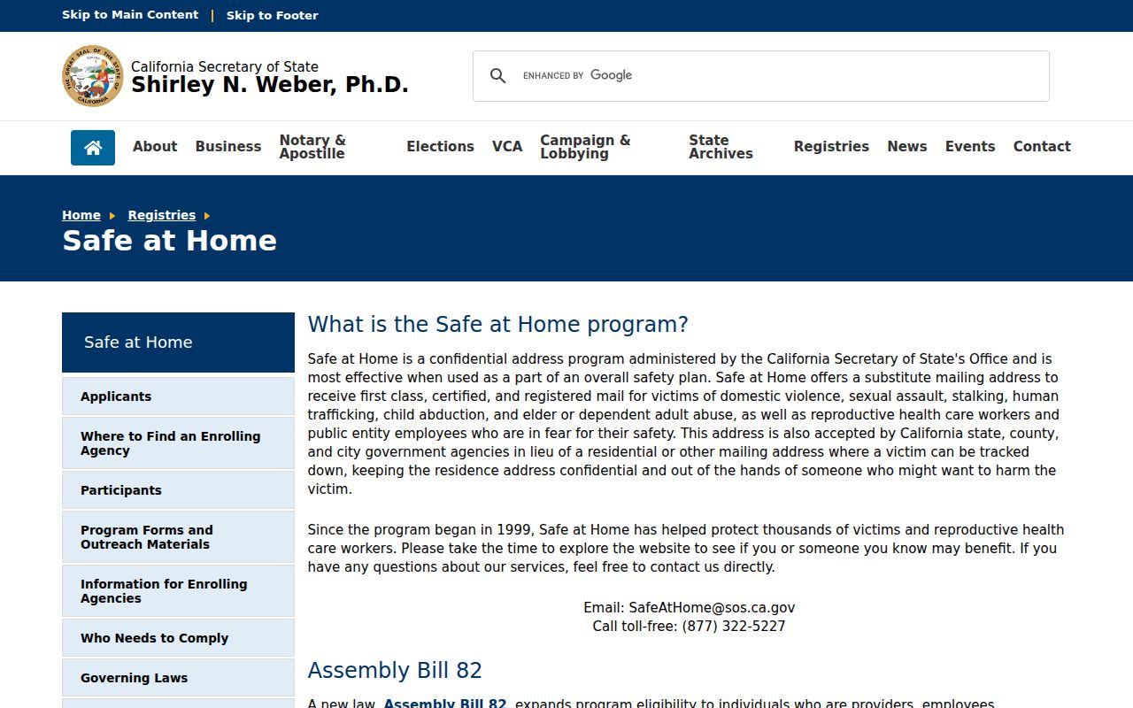
The Safe at Home image belongs beside the voter-limit discussion because a protected participant may use a substitute mailing address and confidential voter registration.
Chamber Contacts Are Not Neighbor Rosters
The Greater High Desert Chamber covers Adelanto, Apple Valley, Hesperia, and Victorville and publishes a business directory. The Adelanto Chamber listing gives a PO Box 712 and 11600 Air Expressway, Adelanto, California 92301, with telephone 760-246-5711. Those are organizational contacts. They can help identify a business, civic connection, or public event, but they do not show who lives on a block.
No official neighborhood-association, HOA, congregation, or neighborhood-watch roster was found. The safest community route is to ask an organization for its public contact channel or attend a public meeting. Do not treat private membership, volunteer lists, or informal group messages as public records.
California Privacy Tools Change the Neighbor Trail
The California Consumer Privacy Act, as amended by CPRA, gives qualifying consumers rights to know, delete, correct, limit sensitive-information use, and opt out of sale or sharing in covered business settings. The Attorney General's CPRA overview is a separate explanation. Those rights do not delete a lawful government deed, court file, or vital record. Correct an official record with its own custodian.
California's DROP portal opened January 1, 2026 for one consumer request to reach registered data brokers. Brokers begin processing on August 1, 2026 at least every 45 days. A request ID and optional identifiers can improve matching, but more identifiers also mean more data used for the request. DROP changes the commercial-data trail, not the parcel map.
The California Attorney General privacy guidance is the consumer-rights source shown below.
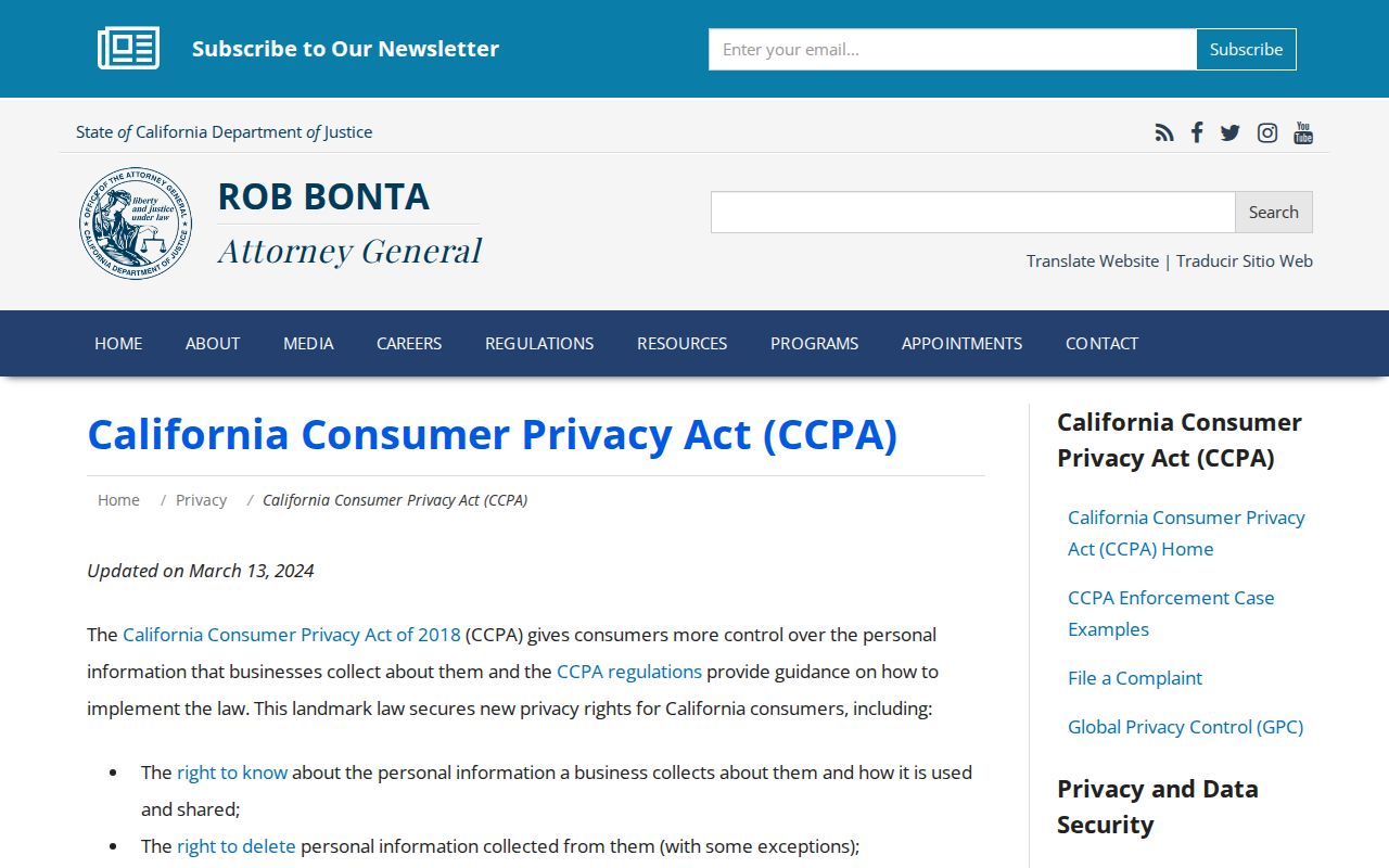
The state privacy guidance image belongs to the correction and opt-out distinction. A person can ask a covered business about its data while an official custodian follows a separate record law.
The California DROP portal is the data-broker source shown below.
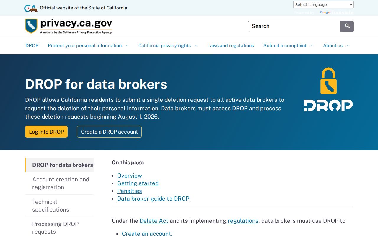
The DROP image marks a timely 2026 privacy route. It is not a search method for finding nearby residents and it cannot turn an official record into private data.
Verify Block Records Before Paying Anyone
Recorded liens and parcel facts can be copied into official-looking solicitations. San Bernardino officials warned in 2025 about letters that cited real lien details and demanded payment through a third party. ARC warned in March 2026 that sbcountyarc.org was an unauthorized impersonation of an older department site, and county officials issued a separate property-tax payment scam warning. Use arc.sbcounty.gov, check the document number in the real index, and call the office using its published number.
Keep the envelope and letter. Do not call the number printed in the solicitation or share bank details merely to obtain a public copy. A legitimate county copy request follows the county's stated fee and order path. A neighbor lookup should protect the block from both privacy harm and records fraud.
The county's recorded-lien warning is the source shown below.
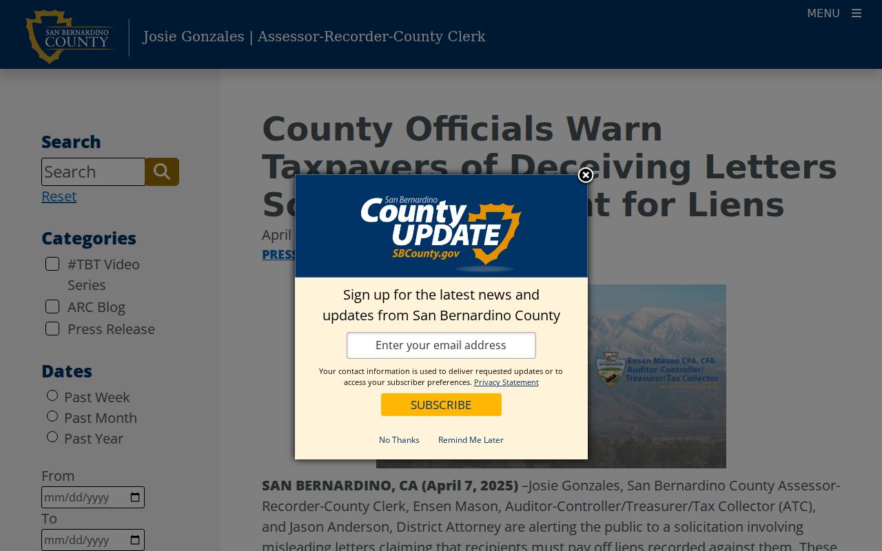
The county warning image shows why a real parcel fact can still appear in a false payment demand. Verify the custodian, not the letterhead.
Privacy Limits on an Adelanto Neighbor Lookup
Safe at Home supplies eligible participants with a substitute mailing address, forwarding, a service-of-process agent, and confidential voter registration. It does not erase old public records, but the program's governing laws protect the route through which a qualifying person's address is handled. Utility, delivery, DMV, private membership, and household details are not presumed public. A block map is a parcel research tool, not a census of neighbors.
The best result may identify adjacent APNs and official layers while leaving the people question unanswered. That is an accurate boundary. Do not bridge it by scraping, republishing a protected address, or asking an organization to disclose private membership.
The Safe at Home governing-laws page is the legal source shown below.
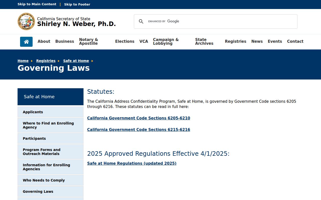
The governing-law source reinforces that confidentiality is part of the public-records map. Respect it while using parcel and civic sources for lawful research.
Lawful personal use. Adelanto neighbor research is for property context, family history, civic understanding, and personal safety. Never use a block record to stalk, harass, intimidate, or harm a person.