
Find Adelanto Street Records Step by Step
A street-level search works best as a chain. The first result should be a parcel, not a name. San Bernardino County govPIMS can search a situs address and highlight the matching parcel. From there, the APN and legal description bridge to the recorder. The county's Public Assessor Map lets the searcher pan to adjoining parcels, turn on property lines and the city boundary, and inspect the map one lot at a time.
Ownership and residence are different questions. The assessor may show a current or historic assessed owner, and the mailing address may belong to an owner elsewhere. A listed subscriber in a reverse directory may be an occupant for one year, while a voter-file residence field is controlled by California law. Use each record for the question it can answer.
- Enter the complete street number and street name in the county's situs address search.
- Record the APN, parcel status, situs, mailing field, and any lawfully visible owner name.
- Use Zoom to Parcel and the map layers to browse adjacent lots along the street.
- Carry the APN, legal description, and owner name to the Recorder's grantor-grantee index.
- Use a permitted voter-file request or an appropriate historical directory only when that source fits the purpose.
When the search shifts from a whole street to one person, move to the Adelanto resident lookup workflow rather than repeating every parcel search.
Search an Adelanto Situs Address in govPIMS
The county's govPIMS guide describes Address Search as a situs-address utility. The recommended input is a street number plus street name, with standard USPS suffix abbreviations. The direct govPIMS entry opens the parcel-information system, while the county user guide explains the search modes. Parcel Number is the precise mode once an APN is known. Name Search can use First Name and Last Name, Active Names or Inactive Names, and Formatted or Unformatted name modes. Inactive names are especially useful when a current street directory question turns into a past-owner search.
| Situs address | Search the physical parcel location by street number and street name. |
|---|---|
| Parcel Number | Use the APN to retrieve a known parcel and connect it to history. |
| First Name / Last Name | Owner-name fields in the authenticated name mode, subject to display limits. |
| Active Names | Current assessed names; the manual also documents Inactive Names for history. |
| Formatted / Unformatted | Handles standard LAST, FIRST entries and older inconsistent spellings. |
| Map book or tract map | Useful when the old land identity is a map, lot, tract, or section description. |
All user functions and data require authentication. California Government Code § 7928.205 also limits broad Internet display of specified owner-name and address fields. The safe street directory habit is to begin with a known address or APN and use the county's permitted tools, counter, or request channel instead of assuming that every owner name is freely searchable online. The older official parcel-information interface is another county reference point, but current availability should be checked before relying on it.
The Assessor map-book search is the county map source shown below.

The assessor map-book image shows the map side of the Adelanto street directory. A book and page can place a parcel in the correct map context before a deed search begins.
Browse Adelanto Parcels on the County Map
After a situs result highlights a parcel, govPIMS offers Zoom to Parcel, distance and area measurement, Layers, and a Legend. Property lines, cities, and the county boundary are the useful street-reading layers. Click each visually adjoining polygon and open its APN Properties panel. Measurements are estimates, not surveys, and the map is a research aid rather than a legal boundary certificate.
The City of Adelanto maps center adds a different view. Its parcel and zoning ArcGIS item lists parcels, zoning, overlays, circulation, truck routes, the county address grid, city boundary, cannabis zones, sewer lines, 2025 water lines, and Southern California Logistics Airport. No authoritative page confirmed an owner field in that city map. Use it for land-use and jurisdiction context, then return to govPIMS or ARC for ownership and recorded documents.
The City of Adelanto maps center is the local map source shown below.
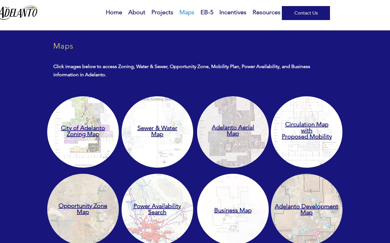
The city maps image belongs beside the parcel workflow because a street can cross zoning, infrastructure, and boundary layers that do not appear in a deed index.
The Adelanto parcel and zoning ArcGIS item is the updated layer source shown below.
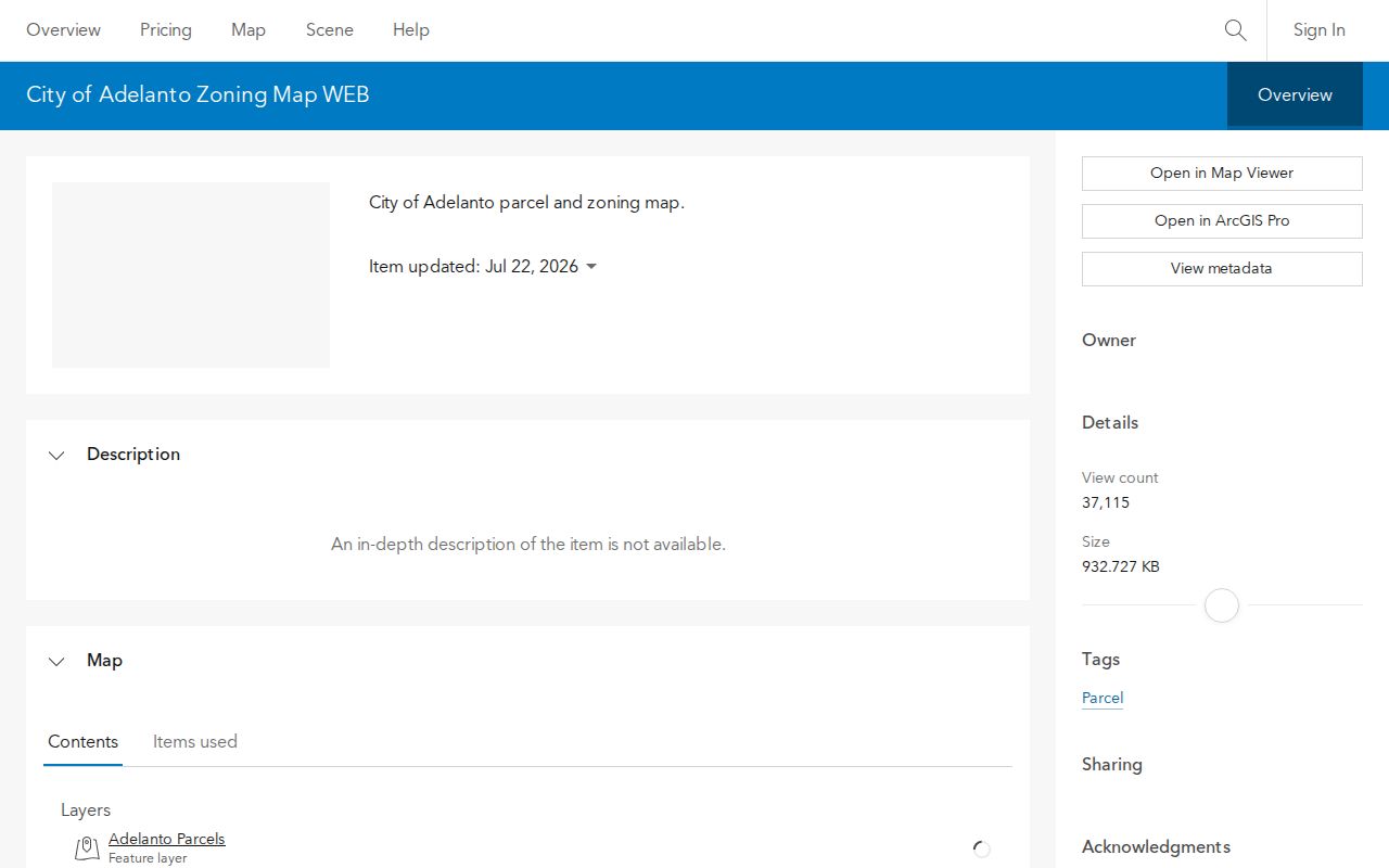
The ArcGIS item was updated July 22, 2026. Treat the date as a timely map update, not as proof that every displayed layer supplies a resident or owner name.
What Adelanto's Street Directory Can Match
Address-keyed records overlap, but they do not have the same meaning. A parcel map may show the lot beside an address. A deed index may show the party who transferred an interest. A permit may show the applicant or contractor. A voter product may show a residence field only after an approved request. The coverage table keeps those roles distinct.
| Record Set | Keeper | What It Shows | Access |
|---|---|---|---|
| govPIMS assessment | County Assessor | APN, situs, mailing, assessed owner, values, characteristics | Web/map, counter, privacy limits |
| Public Assessor Map | County Assessor | Parcel layout, adjoining lots, map-book context | Free map viewer |
| Deeds and liens | County ARC Recorder | Grantor, grantee, date, title, document number | Free index; copies by order or counter |
| City parcel and zoning map | City of Adelanto | Boundaries, zoning, overlays, infrastructure | Free map; owner field unconfirmed |
| Permits and code files | City or county issuer | Project address, applicant, owner, contractor, dates | Focused request or department |
| Approved voter product | Registrar of Voters | Residence and precinct fields for lawful use | Application, security, and fee rules |
The parcel number is the best bridge between these sets. A street name alone is weaker because older land may use a tract, lot, or township-range-section identity. A street directory search becomes reliable when the APN and legal description remain attached to each step. California's voter privacy explanation describes why a residence field cannot be treated as an open street list.
Situs, Mailing Address, and APN Are Different
Three labels appear close together in a county parcel record but answer three different questions. Situs is where the land sits. Mailing address is where tax correspondence goes. APN is the assessor's parcel key. The legal description is the durable land language inside a deed, such as a tract and lot or a section, township, and range reference.
- Parcel
- A defined unit of land with an assessor number, map position, and legal identity.
- Situs address
- The physical location used to locate the parcel in the street directory.
- Plat or map
- A recorded or assessor map that places lots, lines, roads, and related parcels.
- Criss-cross directory
- A reverse directory that arranges a listed subscriber or occupant by street and number.
This distinction protects against a common error. An out-of-city mailing address may suggest an absentee owner, but it does not identify a renter or tell who occupies the parcel. A city map can show zoning or sewer lines without proving a person lives there. A street directory should describe the source role plainly.
Move from an Address to the Recorder Index
The Recorder does not search its index by street address or legal description. The address-to-deed bridge therefore runs through govPIMS. Pull the APN, current assessed owner, and legal description first. Then search the owner as a grantee in the official records index. Compare the legal description and document date. Read the seller as grantor, search that name as an earlier grantee, and repeat when the question is past ownership.
The county advertises an index from 1925 forward. Its house-history guidance describes an online or office chain from 1958 forward and says earlier decade-organized microfilm is held at the main Recorder. Keep both statements. A street directory that reaches beyond the web window needs a counter or microfilm plan, not an invented cutoff.
Each index result shows metadata such as party, date, title, and document number. The instrument supplies the legal description and the substance. Copy requests can be made through county channels, and images can be viewed at the Hall of Records or the High Desert Government Center in Hesperia.
Note: Search the recorder by people after the parcel is known; do not expect a street label to retrieve every deed tied to a block.
Adelanto Streets Cross Several Record Eras
Adelanto was founded in 1915, incorporated in 1970, and became a charter city in 1992. A street question before incorporation may belong to county assessor, recorder, school, newspaper, telephone, or community records. After incorporation, City Clerk, planning, licensing, permit, and council files can add a municipal record layer. The postal name and municipal boundary do not automatically change at the same time.
The county's Adelanto map shows annexation activity associated with LAFCO 2662 on August 7, 1991, 2722 on July 20, 1992, 2832 on March 18, 1998, 2833 on August 17, 1998, and 2858 on June 27, 2000. The map says its boundary currency is June 27, 2000 and disclaims legal representation. These dates help frame old jurisdiction questions, but current boundary questions still need a current official map.
There is no verified Adelanto street-renumbering project, E911 assignment rule, or ZIP realignment year in the research. Early parcels may be easier to trace by tract and lot than by a modern street number. That is a research limit worth stating, not filling with a guess.
Reverse Directories Have a Coverage Gap
The California Room holds regional telephone books from 1918 forward and San Bernardino criss-cross directories from 1976 forward. A reverse directory can be valuable because it organizes a listed subscriber or occupant by street and number. The official holdings page does not confirm that every volume covers Adelanto or the High Desert. Ask staff to verify the locality before treating an entry as a local street record.
Read the title page, coverage statement, and abbreviation key before searching. A missing name can mean the household was unlisted, the volume skipped the area, the address used a rural route, the person moved, or OCR failed. Pair a directory entry with a parcel, newspaper, school annual, census schedule, or deed role. The Adelanto city directory collections page owns the historical shelf details, while this street directory keeps the question on the address.
Permits Date Work, Not Occupancy
Planning, building, code, and business files can put a person, contractor, or company beside a street address and a date. A permit applicant may be an owner, architect, contractor, or authorized representative. A business license may identify a site and responsible party. None proves that the named person lived at the parcel. Ask the City Clerk or issuing department for an existing record with the address, APN, project type, and date range.
Older work may fall under county custody because Adelanto incorporated in 1970. The research notes that building permits were generally available from about 1936 in the then-unincorporated county, with city variation. A permit can date an alteration, while assessor improvement values can show that land value changed. Neither source distinguishes a house from a barn, shed, or other improvement without the underlying file.
What an Adelanto Street Directory Cannot Show
Public street records do not enumerate every person inside a parcel. Renters, household members, guests, utility customers, delivery recipients, and people protected by confidentiality programs may never appear. DMV address data is restricted by the federal Driver's Privacy Protection Act. A voter record is controlled by California Elections Code, and voter-data misuse can be a misdemeanor. Private HOA, congregation, and neighborhood-watch lists are not presumed public.
The most honest result may be a parcel trail with no occupant answer. That is not a failed search. It means the available record set does not establish the missing fact. If safety or privacy is at issue, do not republish a protected address or try to bridge a gap with a broad data scrape.
Lawful personal use. Adelanto street and address records may support property history, family research, civic curiosity, and personal safety. Public availability never grants permission to stalk, harass, intimidate, or harm anyone.